
|
This is a really lovely ride with a bit of a sting depending which way round the circuit you go. Both are recommended but perhaps not on the same day!
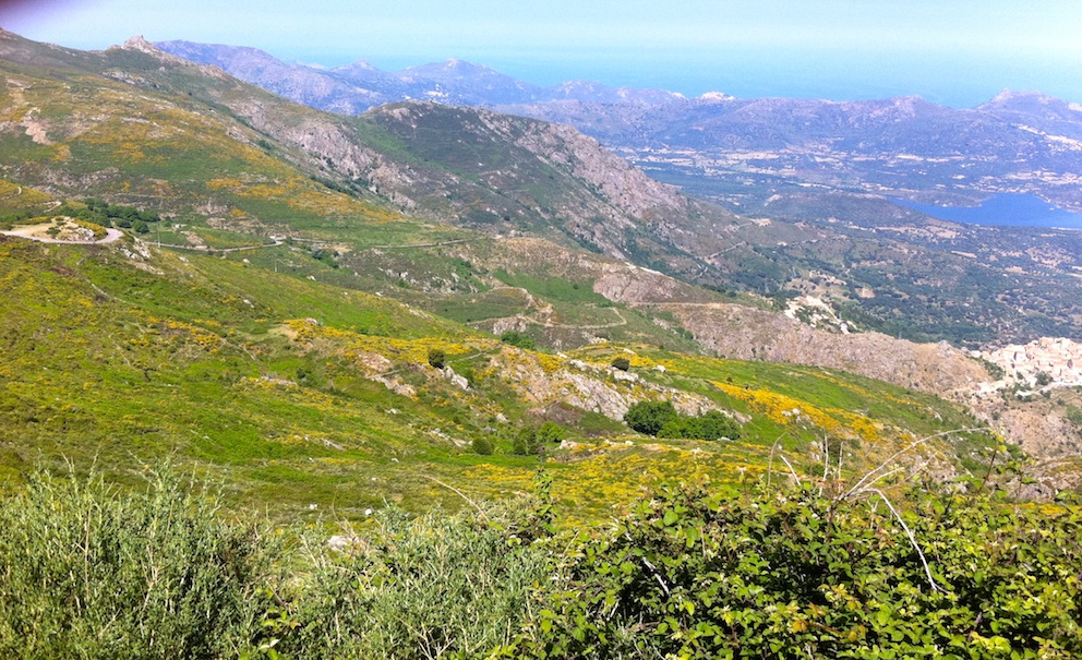
I usually go anticlockwise as I like to see if I still have it in me to ride up the Col de Battaglia from the Speloncato side (via the village square rather than the signposted ramp) without stopping but be warned that the max gradient touches 17% and there is an 11km stretch of plus 7%. My description however goes the other way and sets off from besides the sea in L'Île Rousse and follows the T30 (N197) north, skirting the coast until you see the turning on the right for Palasca, the D363. This is a stunning stretch of road following the contours of the hillside past the chapel, through the village and on up to rejoin the T30 (N197) and then the D963 to Olmi-Capella in the Tartagine valley. This is Giunssani country, remote and bounded by Monte Grosso (1,938m) and Monte Padro (2,393m). There is however a way out by following the D963 a little further to the forest visitor centre and then the D63 up and over the Col de Battaglia. There is a cafe at the Col which is worth a stop before checking your brakes for the hair raising descent to Speloncato (nice square to take a pistop and let your hands recover from all the braking). There's a choice here - you can follow the sign's back to L'ille Rousse via Reginu and Monticello(20km) or continue on and explore more of the Balagne region (30km). I take the latter. Leaving the square left of where you arrived descend to the D71 and meander past Costa, Nessa and on through Feliceto, Muro, Avapessa and up to Cateri. Right at the cross roads taking the D151 by passing the turn for St Antonino, then Aregno, Pigna and to the outskirts of Corbara. Take right up behind the church and on to Santa-Reparta via Occiglioni. Nearly there now following D13 back into L'Île Rousse. © M.Lund 2013-24
|